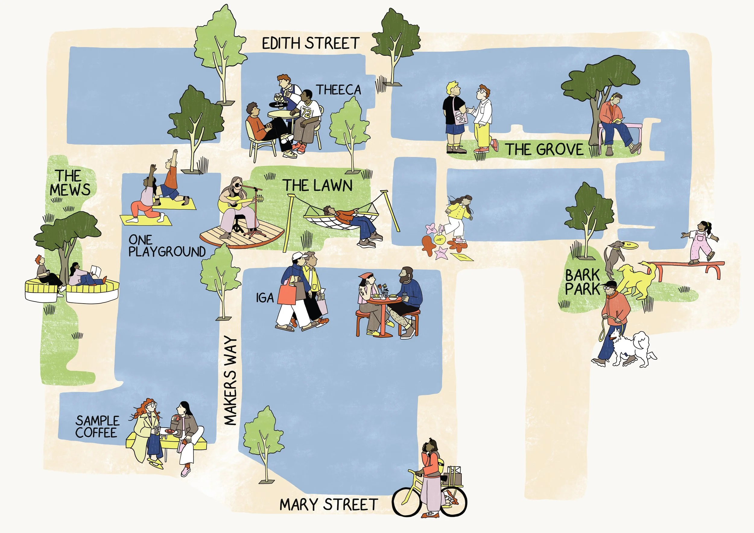
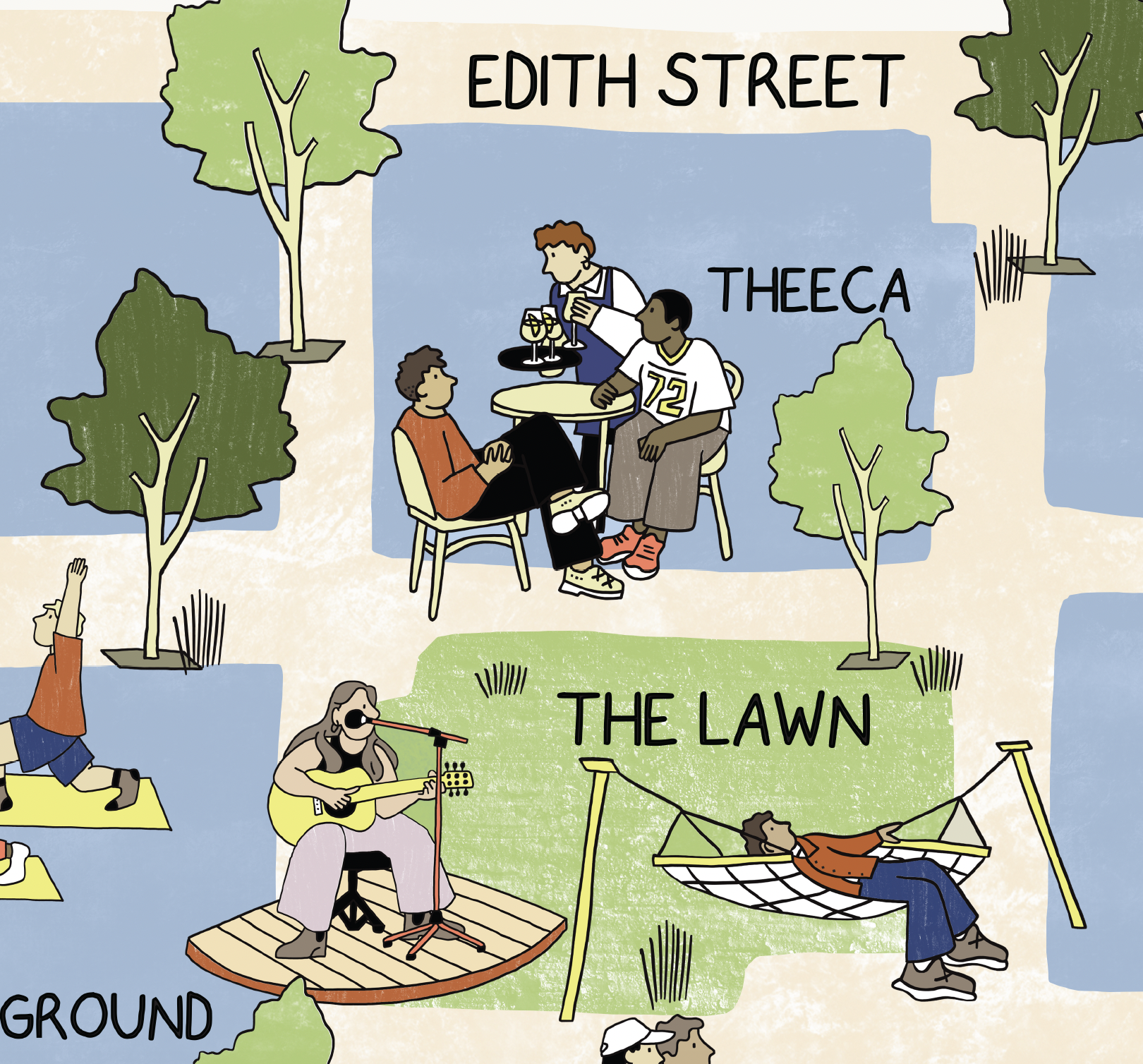
PRECINCT 75
ILLUSTRATED MAP
Illustrated maps that bring places to life. Custom illustrated maps that capture the character, connections and everyday details of a place.
Bespoke illustrated maps are created for property developers, residential communities, urban planners, architects and local councils. Combining considered illustration with a strong sense of place, each map is designed to communicate the unique qualities of a location, from local landmarks and green spaces to neighbourhood amenities, walking routes and surrounding attractions.
Whether the maps are used for new housing estates, showcasing a residential development or helping people navigate an emerging neighbourhood, illustrated maps offer an engaging way to communicate place, build connection and bring a development's story to life.
Commissioned by Coronation for Precinct 75
with Jacky Winter Group