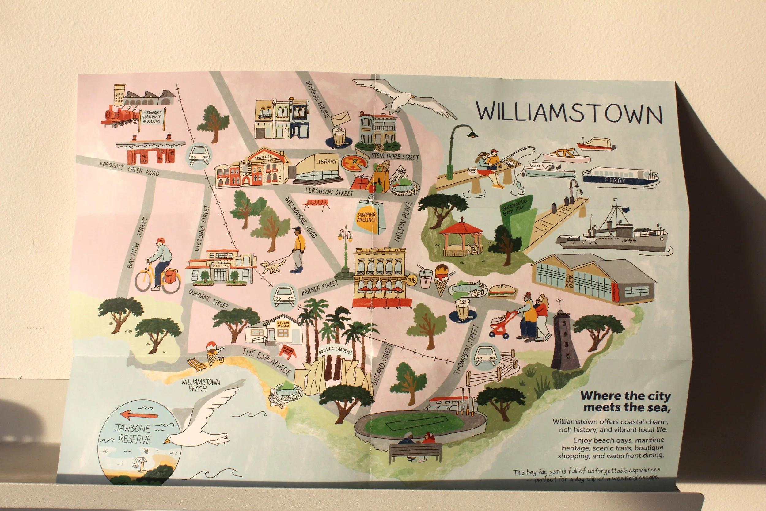

Williamstown Precinct Guide
Williamstown Illustrated Precinct Guide Map is a custom hand-drawn map, guide design and series of spot illustrations created to highlight the charm, history, and local businesses of this iconic Melbourne bayside suburb. Designed with a focus on visual storytelling and accessibility, the illustrated map features key landmarks, streets, and hidden gems, helping visitors and locals explore the area.